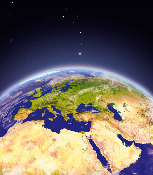
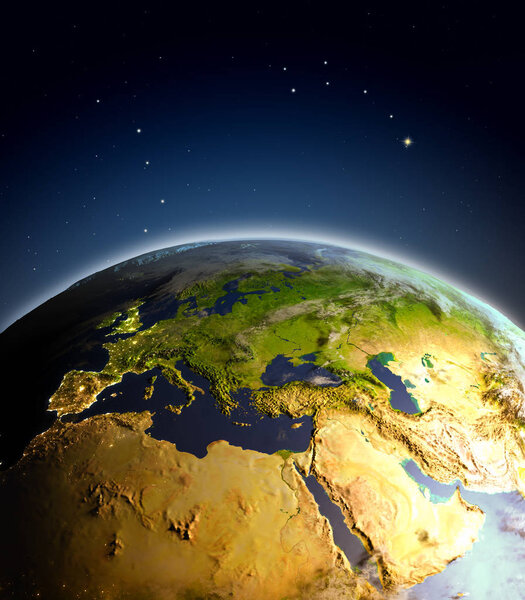
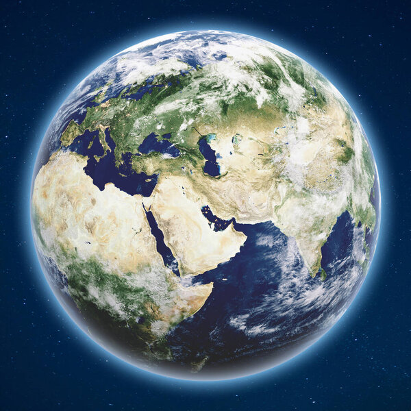
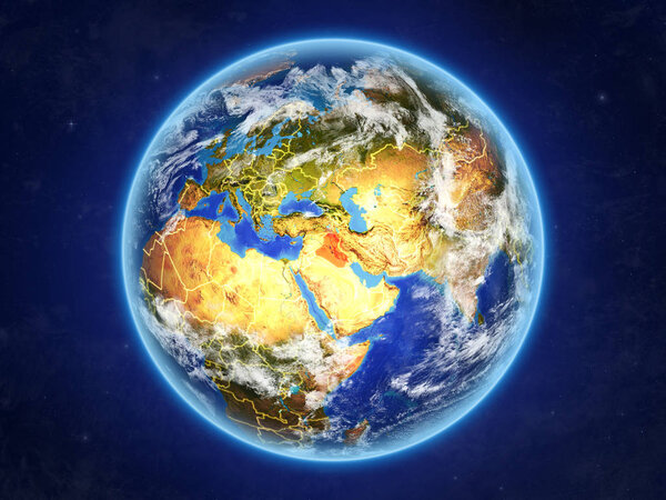
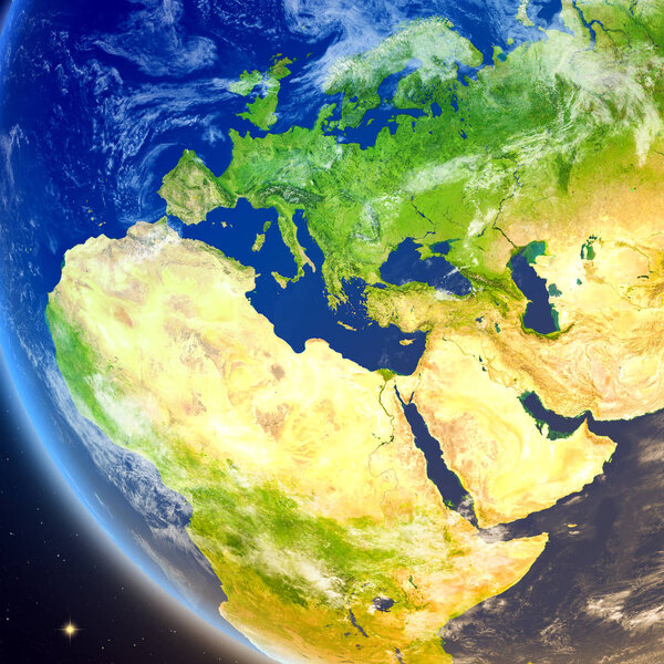
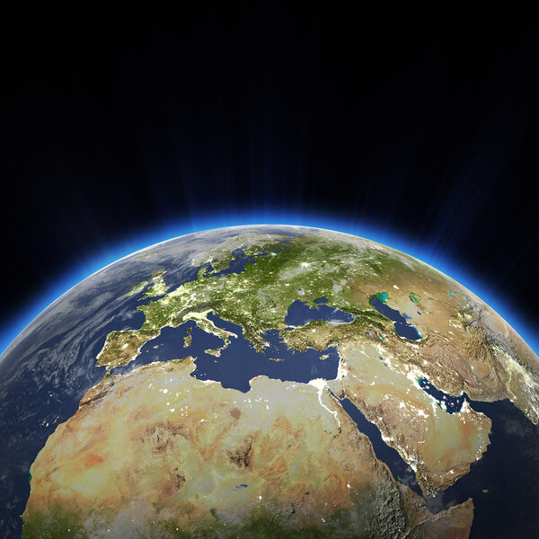
Surface of the Planet Earth viewed from a satellite, focused on Europe and Middle East. Physical map of the World. 3D illustration - Elements of this image furnished by NASA
Only authorized user has access to downloads.Login
License: Royalty Free
Format: JPG
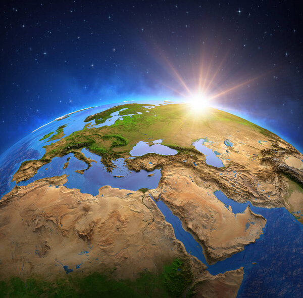
Surface of the Planet Earth viewed from a satellite, focused on Europe and Middle East. Physical map of the World. 3D illustration - Elements of this image furnished by NASA
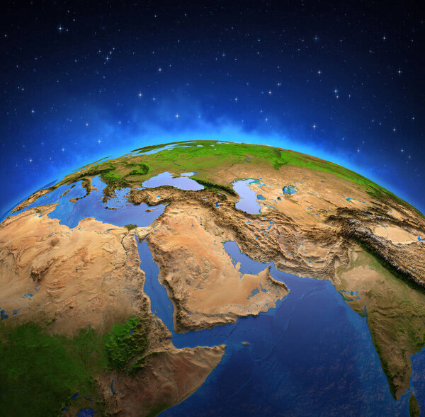
Surface of the Planet Earth viewed from a satellite, focused on Europe and Middle East. Physical map of the World. 3D illustration - Elements of this image furnished by NASA